Welcome to the Functional Ecosystems portal
- Here you will find selected outputs from projects and partial research activities focused on analyzing the Czech landscape in order to assess its condition – functioning, vulnerability, and stability.
- All outputs are prepared by the Global Change Research Institute of the Czech Academy of Sciences (CzechGlobe), Department of Ecosystem Functional Analysis of the Landscape, in cooperation with the Department of Geoinformatics, Palacký University Olomouc.
- Our goal is to make useful landscape data generated through our research accessible to all potential users.
- We provide spatial data on the environmental status of the landscape, freely accessible through web apps. These applications require no special equipment or software.
- The displayed data/analyses can be prepared in detailed scale for any area in the Czech Republic as a custom order or contractual research. For more information,
please see the contact section.
Topics on the Website
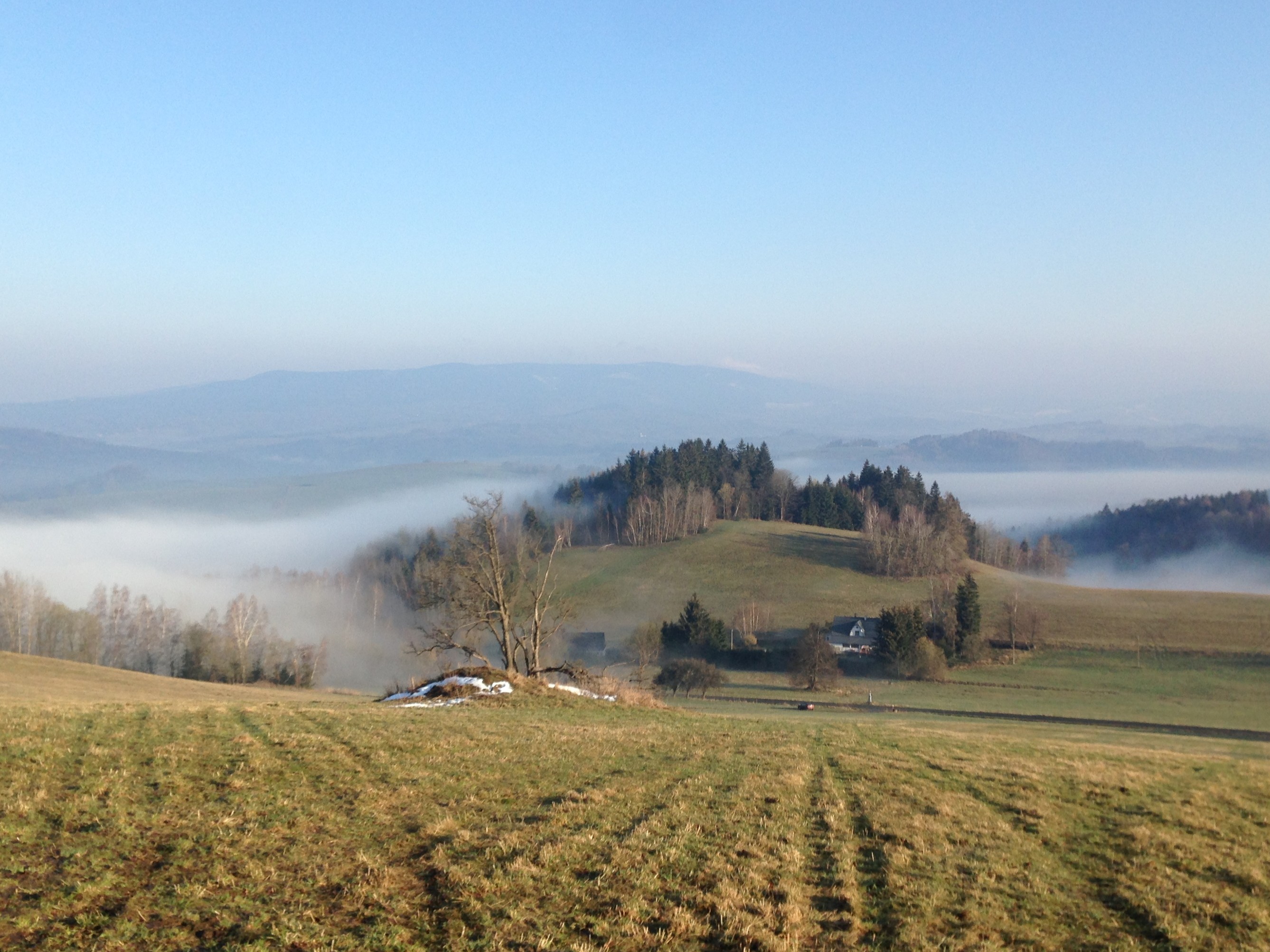
Landscape of the Czech Republic
- Assessment of the susceptibility of Czech territory to degradation using the ESAI+ index
- Web application displaying degradation susceptibility of Czech territory at at the level of Municipalities with Extended Powers (MEP) and in greater detail for individual municipalities (cadastral areas)
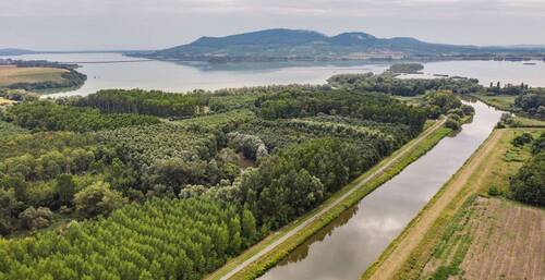
Floodplains
- Methodology for assessment of degradation of floodplain ecosystem functions
- Web-based map application for assessment of ecosystem functions performed by floodplains in the Czech Republic
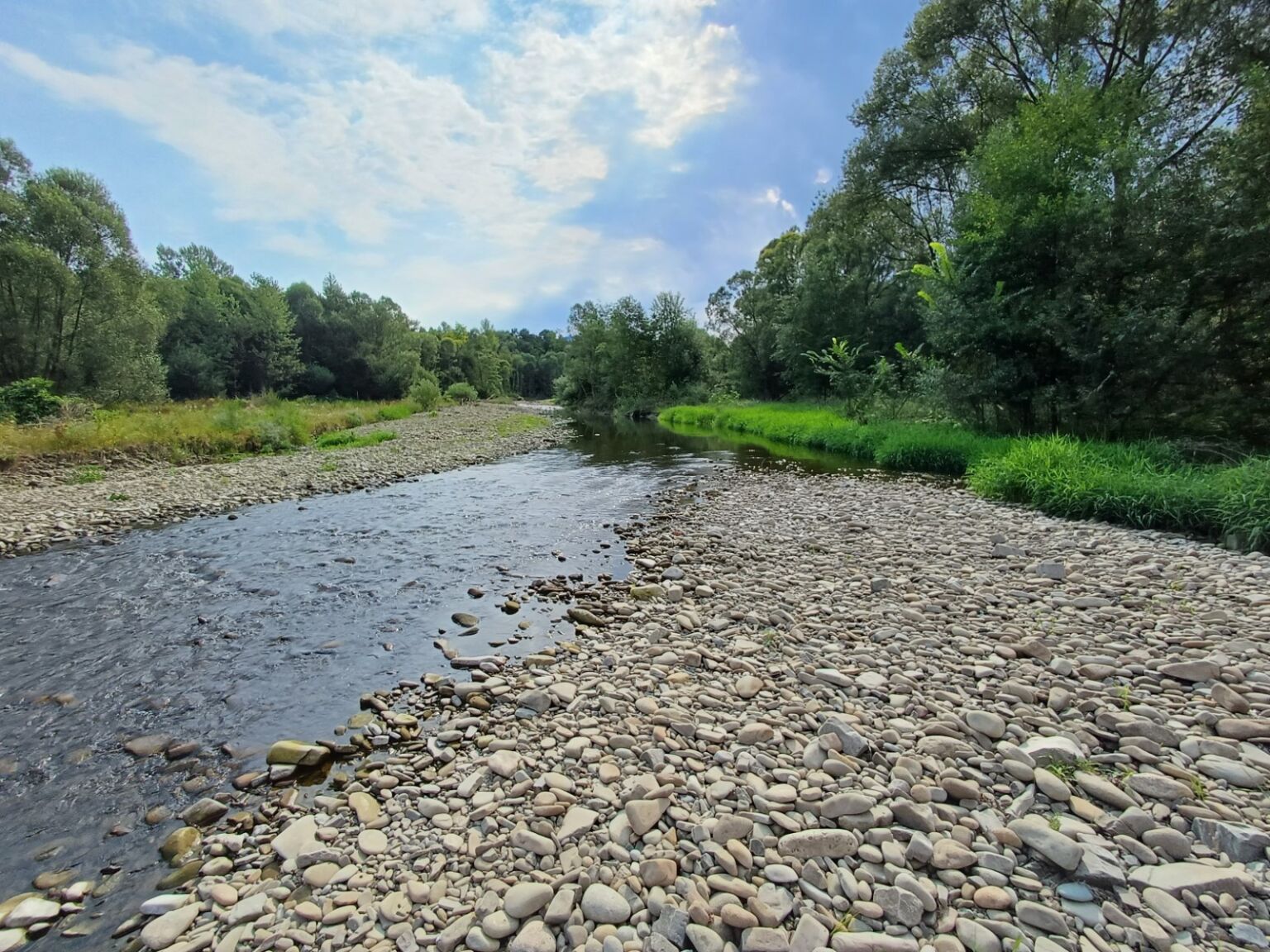
Watercourses
- Assessment of the hydromorphological status of watercourses
- Introducing the concept of ecosystem services into water management planning
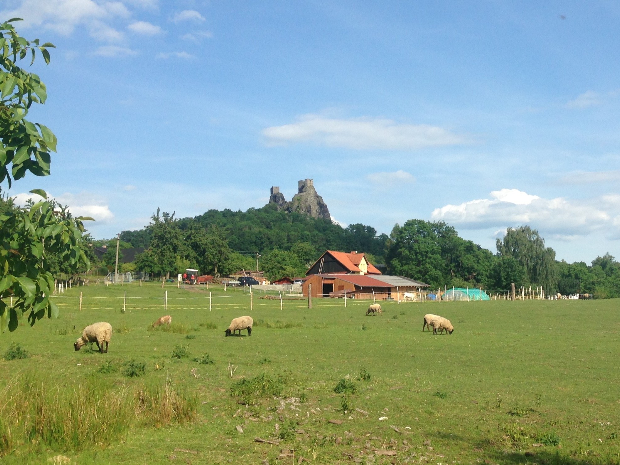
Sub-mountain and Mountain Areas
- Identification of natural and human-induced factors that reduce ecological stability and decrease ecosystem function performance
- Web application showing degradation susceptibility in the Novohradské hory Mts., Jizerské hory Mts., and eastern part of the Krušné hory Mts.