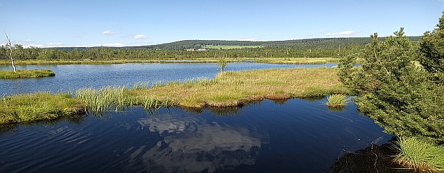
Landscape of the Czech Republic
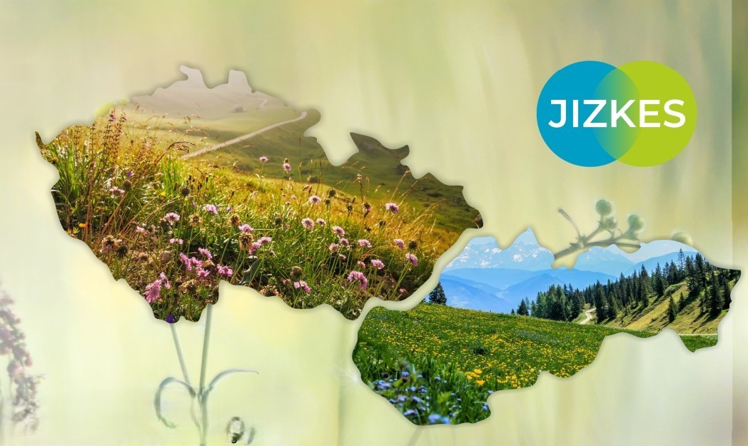
JIZKES: Identification of Landscape Vulnerability and Methodology for Designing Adaptation Measures
- The aim is to create a map portal intended for assessing landscape vulnerability to climate change impacts and providing a methodological approach for designing adaptation measures.
- An ongoing project.
RegAdapt: Mapping the Regional Structure of the Czech Republic from the Perspective of the Urgency to Implement Climate Change Adaptation Measures
- The aim is to create a regionalized territory from the perspective of landscape vulnerability, and to urge implementation of adaptation measures in the landscape
- An ongoing project.
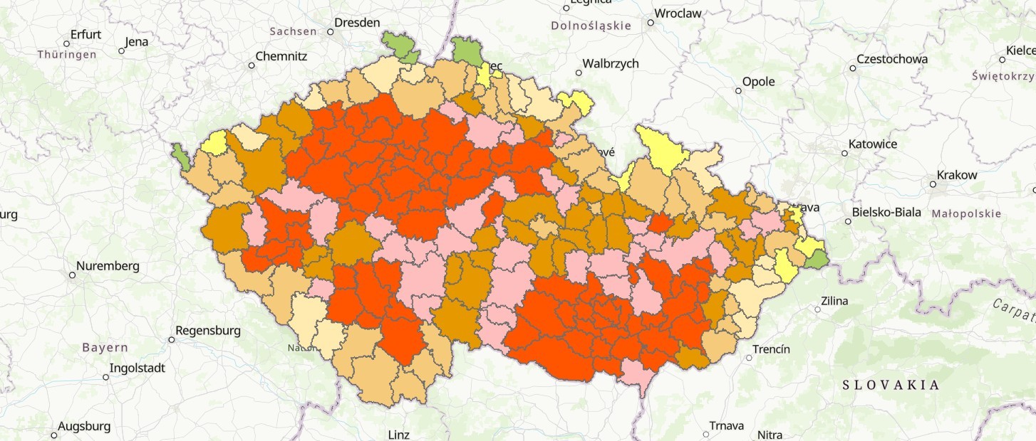
ESAI+: Assessment of the Susceptibility of the Czech Republic Territory to Degradation
- Assessment of susceptibility to degradation, i.e. the loss of the territory’s ability to perform ecosystem functions and to provide services, using the ESAI+ index.
- It's an application offering categorization of the entire Czech Republic in terms of territorial susceptibility to degradation at the level of administrative districts and individual municipalities.
IMALBES: Integrated Modelling and Assessment of Landscape, Biodiversity Status and Ecosystem Services
- An integrated approach to assess landscape, biodiversity, and ecosystem services.
- Publishing outputs focusing on the IMALBES concept.